top of page


One-Stop Destination for your Drone Mapping Projects
ByteGIS is a collaborative platform for handling drone survey datasets at scale. With built-in photogrammetry, geo-analytics, machine learning pipelines and processing capabilities, ByteGIS allows you to execute multiple projects with top quality results.

UAV Data Processing
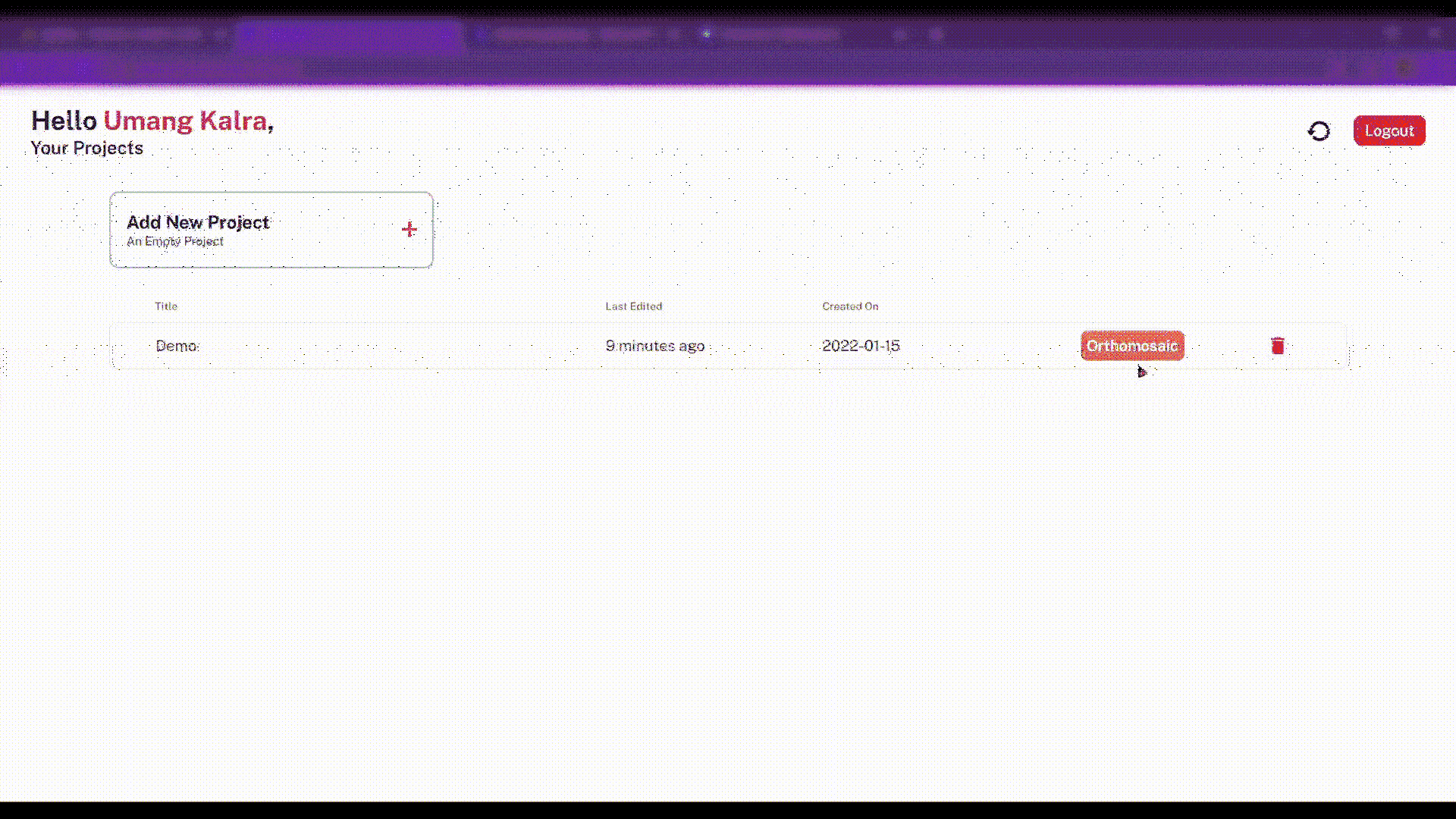
Just upload the UAV captured images and ByteGIS will process these at scale to deliver you orthomosaics and DSMs on time. Notification will be sent once datasets are ready.
bottom of page